UAV and Remote Sensing Services
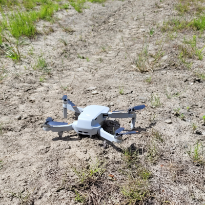
Roy Northern owns and operates a fixed wing Unmanned Aerial Vehicle (UAV), commonly known as a ‘drone’. The UAV system is an unmanned aircraft; a small robotic plane with sensors on-board to collect high-resolution remote sensing data with minimum effort that provides invaluable, real-time data for various applications such as land surveying, agriculture, oil and gas, mining, security, forestry, chemical, and field conditions.
Satellite imagery on the other hand provides similar applications but for wider areas with less resolution (30cm to 10m). Natural color, infra-red vision, multi-spectral for analysis can all be customized to meet client’s environmental, land, archaeology analysis or image-mapping task needs.

Mining and Quarrying
- High-resolution digital terrain models for volume audits and cut/fills estimations
- resource reconciliation of stock-piles, tailings facilities, and dumps
- Subsidence monitoring
Mineral Exploration
- Aerial photography at project/prospect scale
- High resolution digital elevation models at project scale and for integration into 3D GIS models
- Multi spectral satellite imagery for mineral mapping and analysis
- Recording of ground disturbance and rehabilitation
Oil and Gas
- Pipeline right of way design and assessment survey
- Environmental Monitoring and Change Detection
- Environmental Liability Assessments
- Environmental Impact Assessments
- Facility security and Risk Management
- Disaster response and drills
- Flare monitoring & inspections
Agriculture
- Crop count
- Crop Status
- Plant height
- Tiling/drainage evaluation
- Planting evaluation and replanting requirements
- Pathogen introduction and track (weed levels)
- Topographic survey
Topography Data and Landforms
- Rivers/floodplains – catchment mapping
- Coastline morphology and characteristics
- Geohazard mapping
- Geomorphological interpretations
- Topography (leading to digital terrain models)
Cultural Heritage
- Identification of sites of cultural significance
- Recording of archaeological sites
- Recording of heritage sites
Infrastructure Surveying
- Monitoring railroad ties
- Road damage assessment
- Power line and transformer monitoring
- Municipal water supply monitoring
- Surface extraction for hydrologic modeling
- Pipeline oil leak detection
- Evaluation of urban land use
Forestry
- Forest classification / Inventory
- Tree height monitoring
- Forest fire mitigation and assessment
- Plant disease detection
- Assessment of tree stocking density
- Stand variability
- Digital Elevation Model Generation
- Tree stocking evaluation and monitoring regeneration
- Forest health and stress monitoring

